Good morning all,
I have read many, many posts on this great forum trying to plan our trip for Columbus Day weekend. What I am hearing loud and clear is that if a certain area is past peak then go to the lower elevations. My problem is that I have no idea where the lower elevations are! I have looked at the legend on my Vermont Delorme map but I can't see where it shows that. Am I missing something--is there some map that will show me that? Sorry if this seems like a stupid question but I live in Texas where just about everything is flat!
I need a geography lesson!!
Moderators: Andy, pwt54, admin, ctyanky
Sharan,
Go to maps.google.com. Enter a location like Montpelier, VT. Then switch to the "Terrain" view.. and zoom in and out -- that will give you at least some idea.
What general part of Vermont are you heading to?
Go to maps.google.com. Enter a location like Montpelier, VT. Then switch to the "Terrain" view.. and zoom in and out -- that will give you at least some idea.
What general part of Vermont are you heading to?
Charles Kozierok - DesktopScenes.com
View Autumn Scenes from Southern Vermont (2003), my free, 75-image foliage gallery!
View Autumn Scenes from Southern Vermont (2003), my free, 75-image foliage gallery!
-
faxmachineanthem
- Posts: 160
- Joined: Tue Jun 09, 2009 11:11 am
Thanks guys!
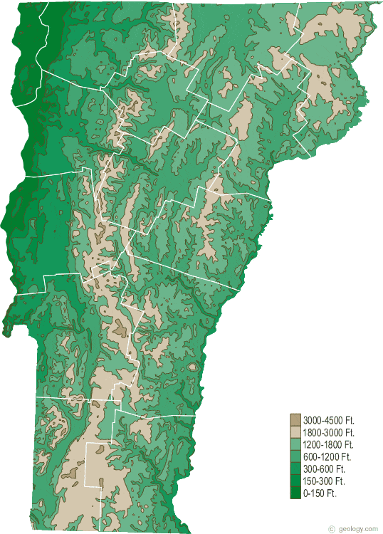
faxmachine--I guess I actually need a geology lesson--not geography! I think I will love the geology.com website. I plan to explore it more when I have time.
Charles--We are staying in Lincoln NH on the 7th, 8th and 9th. I have planned on driving to the Peacham area on the 9th hoping to see some good foliage there. Then the 10th and 11th we will be in White River Junction so I am looking at areas around Woodstock and a little north of there. But we are open to any suggestions as to the best place to be on those dates. On the 12th we will be heading back to Manchester NH to fly back to Texas on the 13th. I hope by next weekend to have a pretty definite plan based on what info I get from all you experts on this forum. I will use the terrain feature of the Google maps now that I know about it. Thanks so much!
Sharan, you'll be fine -- there will be lots of color *somewhere* in the area where you are. If it's not great in one area go to another. You might be a bit late for the Whites but eastern Vermont should have lots of leaves at that time.
Charles Kozierok - DesktopScenes.com
View Autumn Scenes from Southern Vermont (2003), my free, 75-image foliage gallery!
View Autumn Scenes from Southern Vermont (2003), my free, 75-image foliage gallery!
Our mountain Range, the Green Mountains, runs north to south right down the middle of the state. Route 100 runs right down the middle of the Green Mountains. Roads running east to west will have to go over the Green Mountains. Taking route US 4 as an example, Killington next to route 100 is nearing peak right now, but Woodstock and Rutland are about a week behind Killington.